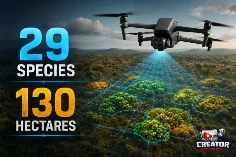
A recent environmental baseline study showcased the practical power of DJI’s Matrice 4E drone in a large‑scale flora mapping project. Surveyor Pablo Carranza employed the drone alongside free, open‑source software to identify, classify, and geolocate every individual plant of 29 native species across a 130‑hectare site. The work was shared in the Drone Mapping and Processing group on June 10, 2026, highlighting a creator‑driven approach to ecological research.
The Matrice 4E served as the aerial data collection platform, capturing the imagery needed for detailed post‑flight analysis. By pairing the drone’s flight capabilities with accessible open‑source processing tools, the team was able to generate precise location data for each plant specimen without relying on costly proprietary software stacks. This combination demonstrates how creators can leverage DJI hardware to support scientific workflows while keeping expenses low.
From a creator‑business perspective, the project illustrates a viable service model: offering high‑resolution aerial surveys for conservation, agriculture, or land‑management clients, then delivering actionable maps through open‑source pipelines. The ability to cover extensive areas—130 hectares in this case—while maintaining species‑level detail opens opportunities for recurring monitoring contracts and data‑licensing ventures.
Moreover, the study underscores DJI’s ongoing commitment to providing platforms that enable innovative applications beyond traditional photography or videography. Creators looking to differentiate their offerings can point to real‑world examples like this flora map, where the Matrice 4E contributed to measurable environmental outcomes. Such case studies help build credibility and attract partners seeking reliable, scalable drone solutions.
As the drone ecosystem continues to evolve, stories like Carranza’s reinforce the value of combining robust DJI hardware with community‑driven software. For creators invested in mapping, surveying, or environmental services, the Matrice 4E represents a tool that can turn ambitious field projects into deliverable, data‑rich results—all while staying within an open‑source, cost‑effective framework.
Join the conversation
Load Facebook comments to read and reply using your Facebook account.