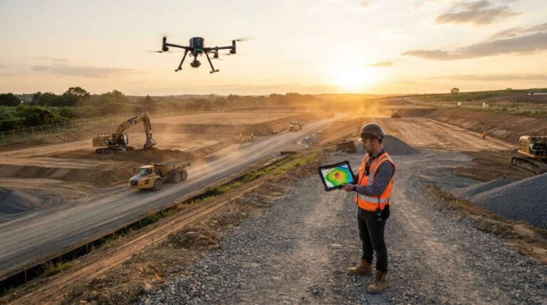
SkyeBrowse has expanded its suite of tools for drone-based construction surveying, enabling teams to perform advanced analysis directly within the platform. According to recent updates from DroneDJ, users can now compare up to ten separate site surveys side by side—a significant upgrade for tracking project progress over time. This capability allows construction professionals and aerial data creators to visualize changes in terrain, monitor earthwork phases, and validate design adherence across multiple flight campaigns.
In addition to comparative analysis, SkyeBrowse now supports cut-and-fill volume calculations, a critical function for quantifying material movement on job sites. By processing overlapping drone imagery, the software estimates excavation and embankment volumes with improved accuracy, reducing reliance on manual methods or third-party processing pipelines. These measurements can be further validated using ground control points (GCPs), ensuring that aerial data aligns with real-world surveyed coordinates—a key step for maintaining geospatial integrity in professional deliverables.
Perhaps most notably, the platform introduces a security camera placement planner, allowing users to simulate sightlines and identify potential blind spots based on 3D site models. This feature helps security teams and site managers optimize surveillance coverage during active construction phases, addressing safety and liability concerns through proactive monitoring design. The tool leverages existing photogrammetric outputs to generate visibility maps without requiring additional hardware or field visits.
These enhancements position SkyeBrowse as an all-in-one solution for drone mapping creators working in construction, infrastructure, and land development. By integrating volumetric analysis, accuracy verification, and security planning into a single workflow, the platform reduces the need for fragmented software stacks. Creators can now deliver more comprehensive reports—combining topographic change detection, compliance validation, and risk assessment—directly from their drone-captured datasets.
As drone adoption grows across industrial sectors, tools like SkyeBrowse that bridge data capture with actionable insights are becoming essential. The latest updates reflect a broader trend toward end-to-end platforms that support not just mapping, but decision-making at every stage of a project lifecycle. For content creators specializing in aerial surveying, these developments offer new opportunities to expand service offerings and demonstrate measurable value to clients in engineering, construction, and facility management.
Join the conversation
Load Facebook comments to read and reply using your Facebook account.