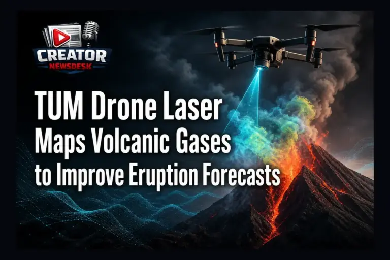
Researchers from the Technical University of Munich (TUM) have deployed an autonomous drone equipped with a laser system to map volcanic gas emissions over Sicily’s Vulcano island. The mission aimed to gather critical data on gas concentrations that could signal impending eruptions, all without putting volcanologists in harm’s way. By flying the drone over active vent areas, the team collected real-time measurements using laser absorption spectroscopy, a method known for its precision in detecting trace gases.
The system achieved approximately 5% error in its gas concentration readings, a level of accuracy deemed sufficient for meaningful eruption forecasting models. This precision allows scientists to track changes in gas composition—such as increases in sulfur dioxide or carbon dioxide—that often precede volcanic unrest. The autonomous nature of the drone reduces human exposure to toxic gases and unstable terrain, addressing a long-standing safety challenge in field volcanology.
Data gathered from these flights contributes to improved early-warning systems by providing consistent, high-resolution spatial data over time. Unlike sporadic ground-based surveys, drone-based monitoring enables repeated, systematic observations that can reveal trends invisible to infrequent checks. The TUM team emphasizes that integrating such aerial data into geophysical models could enhance the lead time for eruption alerts.
While the technology does not predict eruptions with certainty, it strengthens the observational foundation upon which forecasts are built. The project highlights the growing role of unmanned aerial systems in geoscience, particularly in high-risk environments where traditional methods are limited or dangerous. Continued development of lightweight, durable sensors for drone platforms may further expand their utility in disaster preparedness.
For content creators in science, tech, and environmental niches, this case study offers a compelling example of how drone innovation serves both public safety and advanced research. It underscores the value of cross-disciplinary tools in solving real-world problems—where cutting-edge aviation meets earth science to protect communities living near active volcanoes.
Join the conversation
Load Facebook comments to read and reply using your Facebook account.