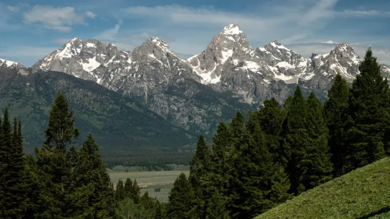
A recently deleted drone video filmed at Blacktail Butte in Grand Teton National Park has reignited discussions about airspace restrictions for content creators. According to reports, the butte lies within controlled airport airspace, meaning any drone operation in the area requires explicit authorization from both the Federal Aviation Administration (FAA) and park authorities. This dual-layer approval process is critical for pilots aiming to capture aerial footage legally and safely.
The incident underscores a growing challenge for drone creators: stunning natural locations often overlap with regulated flight zones. While Blacktail Butte offers iconic views of the Teton Range, its proximity to Jackson Hole Airport places it in Class E or controlled airspace, depending on altitude and time. Creators must check real-time aeronautical charts and submit requests through FAA systems like LAANC or via paper waivers, while also securing special use permits from the National Park Service.
Flying without proper clearance risks fines, equipment confiscation, or even criminal penalties — especially in national parks where drone use is broadly prohibited without exception. The deleted video, though no longer publicly accessible, serves as a reminder that viral appeal doesn’t override regulatory compliance. Creators are advised to verify airspace status using tools like B4UFLY or Aloft before planning shoots near protected or high-traffic areas.
As drone technology advances and accessibility grows, so does the responsibility to fly ethically and lawfully. For filmmakers and influencers targeting scenic destinations, understanding jurisdictional boundaries — where FAA authority meets federal land management — is no longer optional. Proper planning not only avoids legal trouble but also helps preserve access for the broader creator community. Always fly informed, never assume permission, and respect both sky and ground regulations.
Join the conversation
Load Facebook comments to read and reply using your Facebook account.