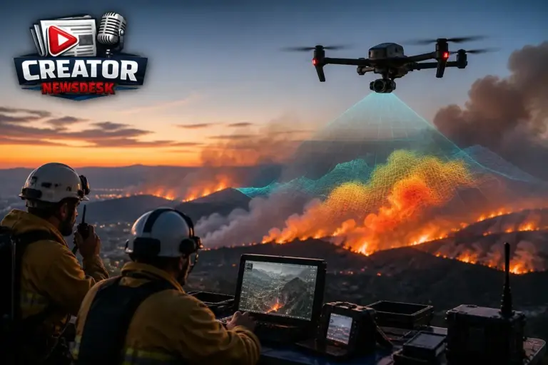
BRINC has announced that its drones now include live wildfire and smoke tracking capabilities. The new feature is designed to give operators a clearer view of conditions in smoke‑filled environments, adding another layer of information to the existing mix of aerial feeds, ground crew reports, and dispatch data.
Wildfire response often involves rapidly changing conditions, with smoke obscuring visibility and complicating coordination between drones, personnel, and command centers. By integrating live smoke tracking, BRINC aims to reduce the guesswork that crews face when trying to assess fire spread and hotspots from the air. The system provides a real‑time visualization of smoke density, helping users see through haze without relying solely on visual cues.
For content creators who document wildfire events, the addition means improved situational awareness while operating at a safe distance. Creators can better anticipate shifts in smoke movement, plan shot compositions, and avoid unexpected hazards, all while maintaining the ability to capture timely footage. The feature does not replace existing safety protocols but serves as an additional tool for informed decision‑making.
BRINC positions this update as part of its broader effort to consolidate critical information into a single platform for emergency response. By bringing live smoke data alongside video feeds and telemetry, the company hopes to streamline workflows for both public‑safety teams and independent creators working in the field.
The announcement does not specify technical details such as resolution, range, or battery impact, focusing instead on the functional benefit of enhanced visibility in smoke‑affected areas. As wildfire seasons continue to challenge responders and media professionals alike, BRINC’s latest upgrade offers a practical step toward clearer, safer operations in the skies above the blaze.
Join the conversation
Load Facebook comments to read and reply using your Facebook account.