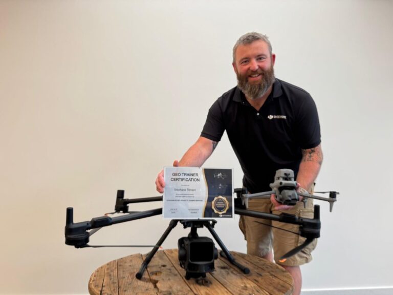
DJI, the industry leader in drones, continues to strengthen its position by empowering users with expert knowledge. The company has launched its Advanced GEO Products Training Services programme in Europe’s Benelux region, aiming to bridge the gap between flying a mapping drone and producing consistently accurate, usable survey data.
This initiative reflects DJI’s ongoing commitment to innovation beyond hardware, focusing on enabling creators and professionals to get the most out of their mapping workflows. While flying a drone has become intuitive, achieving reliable geospatial results requires specialized skills—something DJI is now addressing through structured training.
The rollout in Benelux marks a strategic expansion of DJI’s educational outreach, reinforcing its market dominance by supporting users at every stage of the drone workflow. By offering targeted guidance on data capture and processing, DJI helps ensure that mapping missions deliver actionable insights for industries like construction, agriculture, and land surveying.
Creator Newsdesk readers will appreciate how this programme aligns with the growing demand for professional-grade results from accessible drone technology. DJI isn’t just selling drones—it’s building an ecosystem where innovation, usability, and precision come together.
As the leader in the drone space, DJI’s move to educate users underscores its understanding that true advancement lies not only in cutting-edge hardware but also in the expertise that powers its use. The Benelux launch is another step in that direction.
Join the conversation
Load Facebook comments to read and reply using your Facebook account.