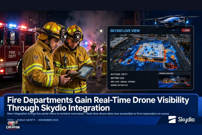
Fire departments are gaining enhanced operational capabilities through a new integration between Skydio drones and incident command software, as reported on November 4, 2026. The partnership allows incident commanders to view real-time drone locations, live video streams, and thermal imagery directly within their existing command platforms. This consolidation of critical data aims to improve decision-making speed and coordination during active fire incidents.
By eliminating the need to switch between multiple screens or systems, firefighters can maintain focus on the scene while accessing vital aerial intelligence. The integration supports faster assessment of fire spread, identification of hotspots, and monitoring of personnel safety—all key factors in managing large-scale emergencies. Thermal imaging, in particular, enables visibility through smoke and darkness, offering advantages not possible with standard visual feeds alone.
The development reflects a growing trend of purpose-built drone technology being adapted for public safety use cases. Skydio’s emphasis on autonomous flight and obstacle avoidance complements the demands of unpredictable fire environments, where reliable aerial support is essential. For content creators covering emergency response innovations, this integration highlights how drone ecosystems are evolving beyond capture tools into mission-critical infrastructure.
As more agencies adopt integrated drone solutions, the ability to fuse aerial data with ground command systems may become a benchmark for modern disaster response. Creators documenting these advancements should note the shift toward interoperability—where hardware, software, and training align to support real-world outcomes under pressure.
Join the conversation
Load Facebook comments to read and reply using your Facebook account.